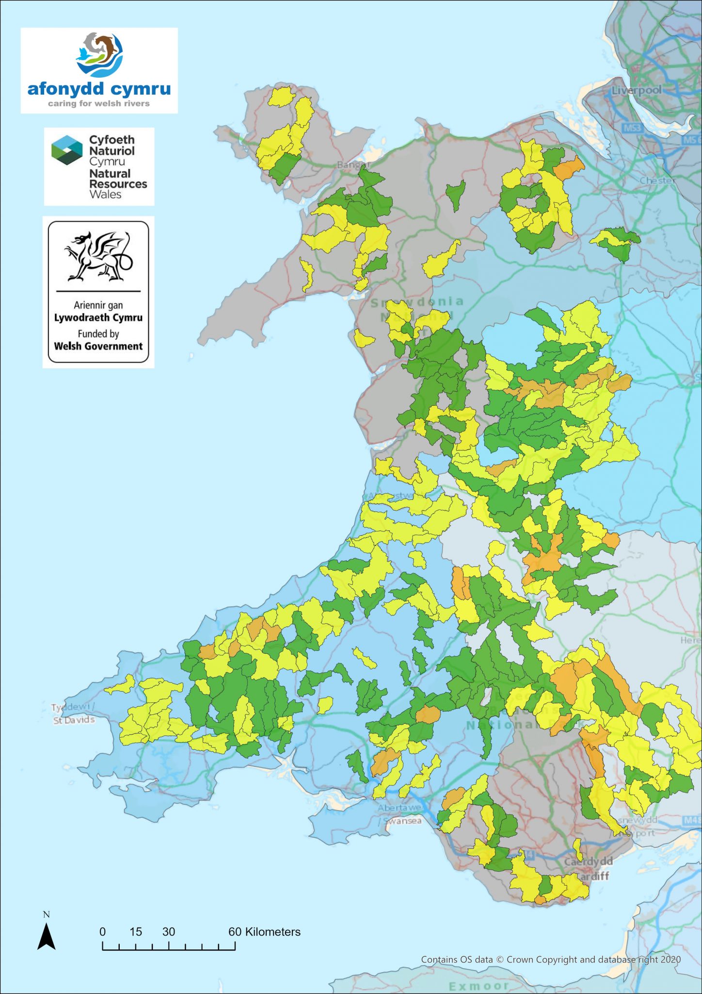
In 2017, Natural Resources Wales commissioned Afonydd Cymru to prepare fisheries habitat plans on the 23 principal salmon rivers of Wales. To establish the priority issues that needed resolving on these rivers, all the regional rivers trusts surveyed their respective catchments during the winter from 2017 to 2021.
Rivers surveyed to date:
2017:Â Teifi (upper tributaries 2020),
2018: Tywi, Mawddach, Clwyd and Eastern Cleddau.
2019: Western Cleddau, Thaw, Usk, Ogmore, Arth, Aeron, Ystwyth, Rehidol, Leri, Wyre, Llyfni, Gwyfrai, Seiont and Ogwen.
2020: Wye, Usk (phase 2), Dyfi, Glaslyn, Taf, Nevern, Loughor, Neath, Tawe, Upper Teifi, Cadoxton, Rhymney, Taff / Ely, Severn (phase 1), Dee, Conwy, Rivers of Anglesey.
2021: Severn (phase 2), Ebbw/Sirhowy, Dysynni, Atro, and Dwyryd.
All opportunities for fisheries habitat improvements were prioritised following the surveys. Issues found included: barriers to fish migration; damaged or degraded riparian habitats (including erosion); over or under shading; invasive Non-Native Species (INNS); damage from livestock poaching or grazing; and adjacent land use problems such as soil, herbicide, pesticide, nutrient run off.
The information gathered from surveys, including photographs, was combined with existing data to produce catchment specific reports. Afonydd Cymru have collated every issue pertaining to fisheries habitat and migration into one document, and onto GIS, which have been used to guide Welsh Government / Natural Resources Wales’ fisheries restoration programme.
See here for more details of that programme.

